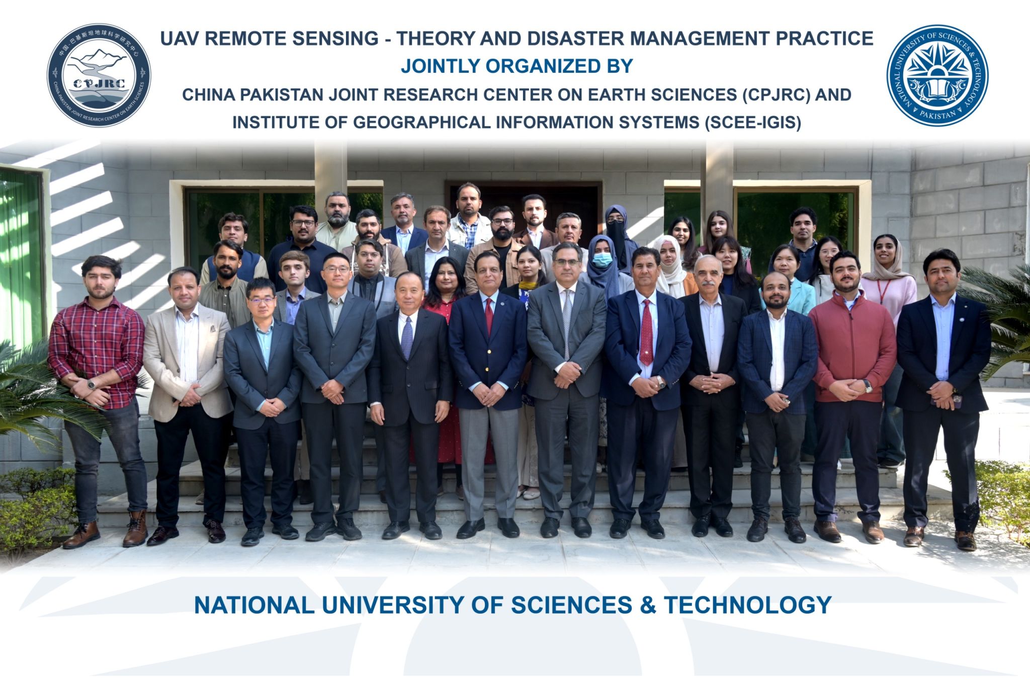
UAV Remote Sensing Training – Theory & Disaster Management Practice
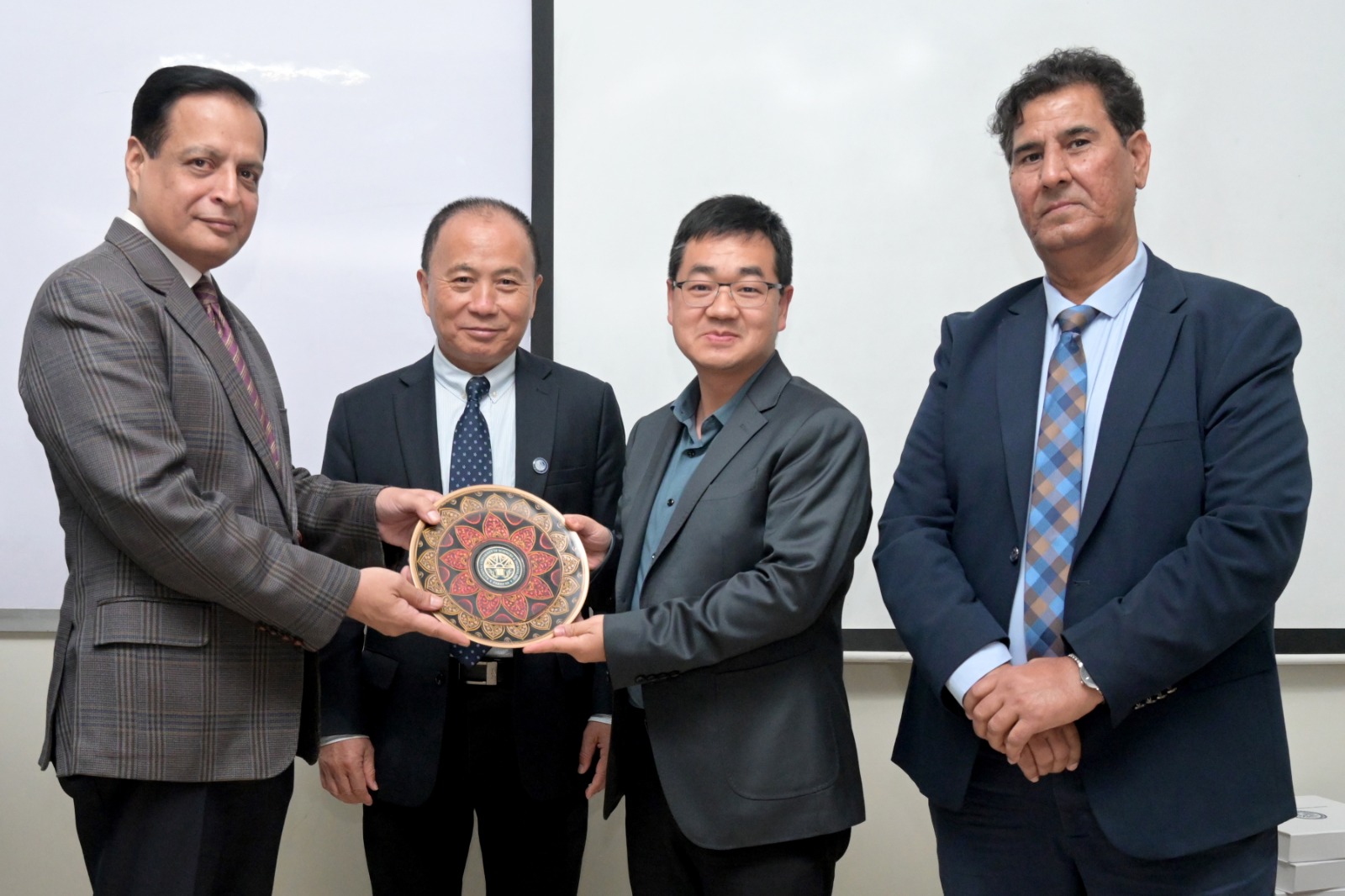
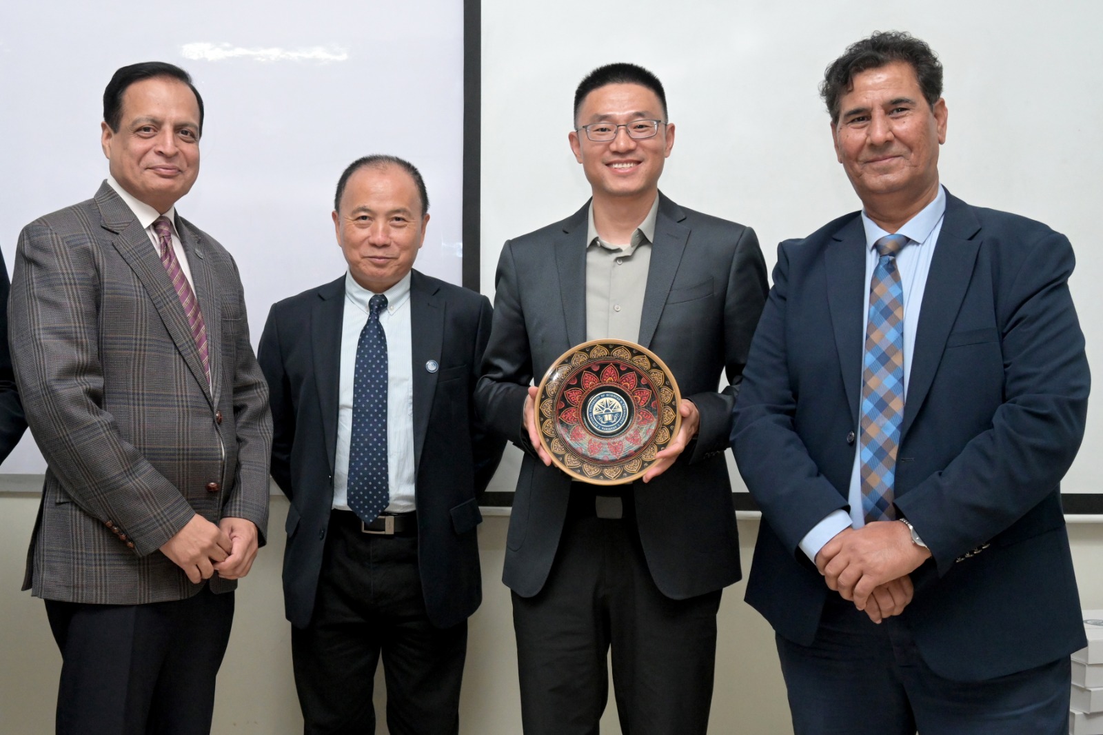
-The Institute of Geographical Information Systems (IGIS), School of Civil and Environmental Engineering (SCEE), NUST, in collaboration with the China-Pakistan Joint Research Center, successfully conducted a 4 day International Workshop on “UAV Remote Sensing Training: Theory and Disaster Management Practice” from 17 to 20 November 2025 at the IGIS Building, Islamabad.
A total of 22 participants registered for the workshop, representing students, researchers, and professionals interested in UAV based remote sensing applications.
The workshop aimed to equip participants with practical knowledge and technical skills related to UAV remote sensing, including data acquisition, processing techniques, analysis, and its applications in disaster management and decision support.
The four day training covered a structured program including fundamentals of UAV remote sensing, disaster application scenarios, data acquisition and processing theory, modeling techniques, hands on practical sessions, and real world disaster case studies. The workshop concluded with a review session, participant presentations, and a closing ceremony.
The sessions were delivered by distinguished experts including Dr. SHI Pilong, Dr. LI Dong, Dr. Javed Iqbal, Dr. Shahid Nawaz Khan, and Engr. Umer Safdar, who shared valuable theoretical insights and practical demonstrations.
Participants actively engaged throughout the training and appreciated the hands on learning experience and international collaboration opportunity. The workshop concluded successfully with certificate distribution and a group photo.