
IGIS Academia Facts & Figures
CURRENT STUDENTS
IGIS GRADUATES
FACULTY MEMBERS
Professor Dr. Muhammad Irfan
PRINCIPAL'S MESSAGE
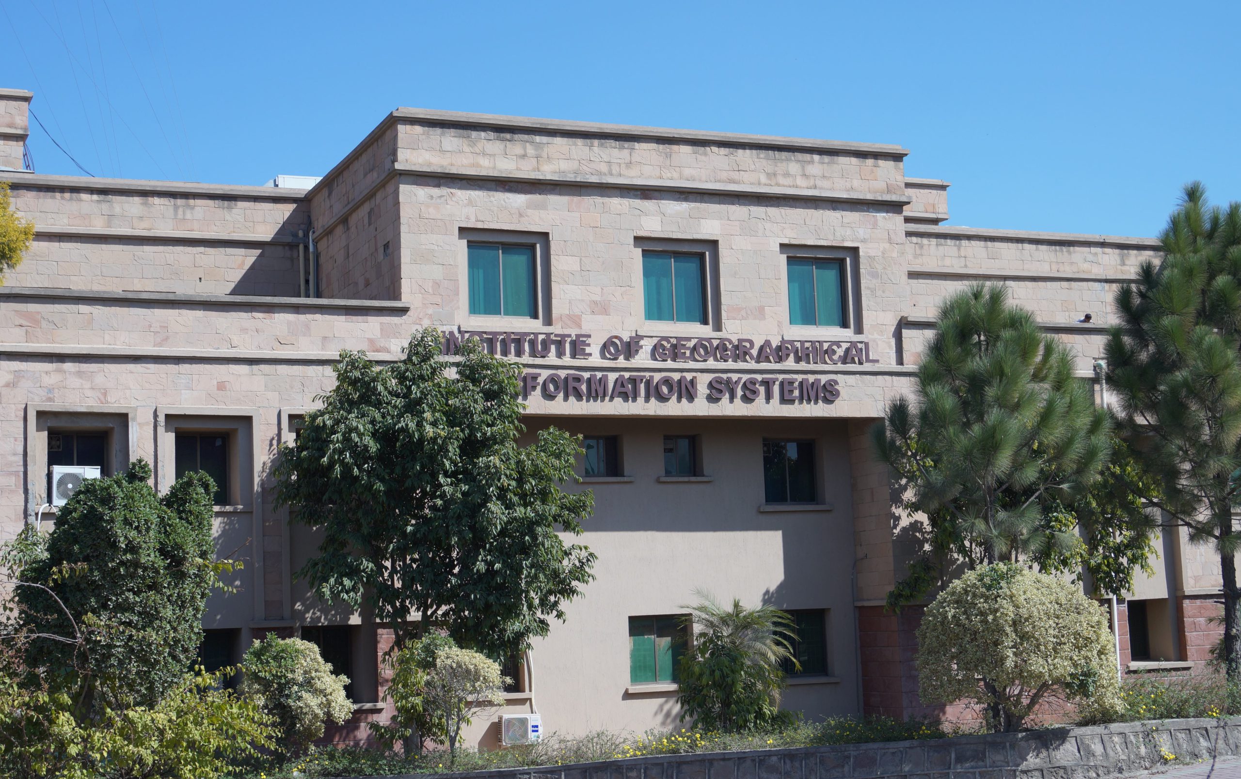
GIS is one of the four institutes functioning under the umbrella of School of Civil and Environmental Engineering (SCEE). All resources of IGIS are augmented by SCEE i.e. faculty, laboratories, library and transport, thus making it a very potent institute. IGIS has distinction of offering for the first time in Pakistan, Master’s programme in the field of Remote Sensing (RS) & Geographical Information Systems (GIS). Keeping in line with its tradition, it has again been the first in the country to offer undergraduate degree programme in GIS and PhD in RS & GIS. The discipline is though new, but its importance has been recognized all over the world. As of today, many of the top universities of the world are offering degrees relating to spatial data. The importance of Geospatial data in virtually all fields of life has been realized in Pakistan. The avenues of employment are also increasing rapidly along with realization of the importance of spatial data. This will ensure optimal utilization of resources in minimum time.
IGIS Heads
Head Of Department
Professor Dr. Javed Iqbal
- Email:[email protected]
- Specialisation:Natural Resource Management
Associate Dean
Professor Dr. Ejaz Hussain
- Email:[email protected]
- Specialisation:Geomatics Engineering
Principal & Dean SCEE
Professor Dr. Muhammad Irfan
- Email:[email protected]
- Specialisation:Transportation Engineering

Head of Department
Assoc Professor Dr. Muhammad Azmat
- Email:[email protected]
- Specialisation:Water Resources and Climate Change
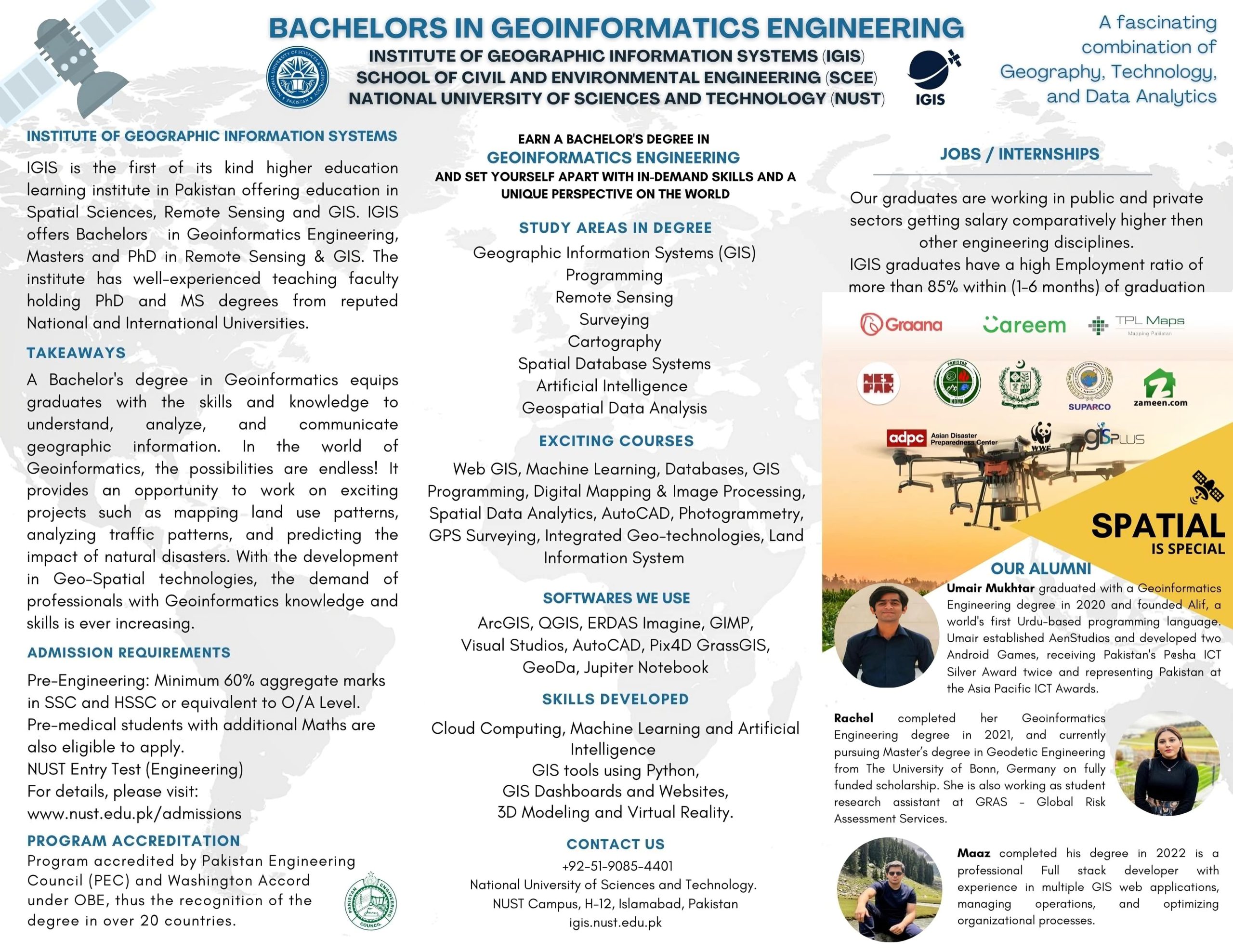
- UNDERGRADUATE PROGRAMMES
- BE GEOINFORMATICS ENGINEERING FOR FALL 2023 & ONWARD
- BE GEOINFORMATICS ENGINEERING - FALL 2022 & Prior
Stories and News from IGIS NUST
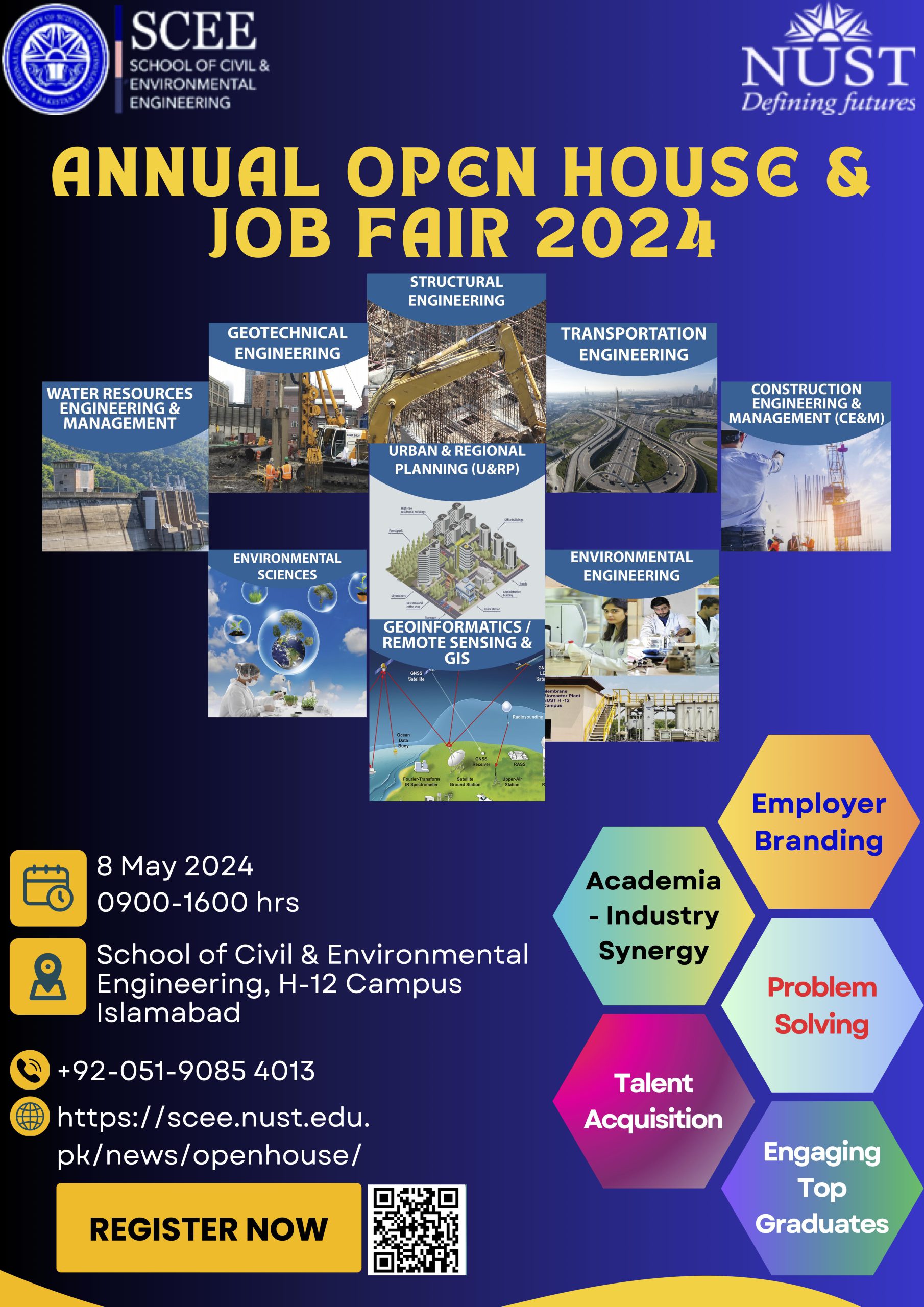
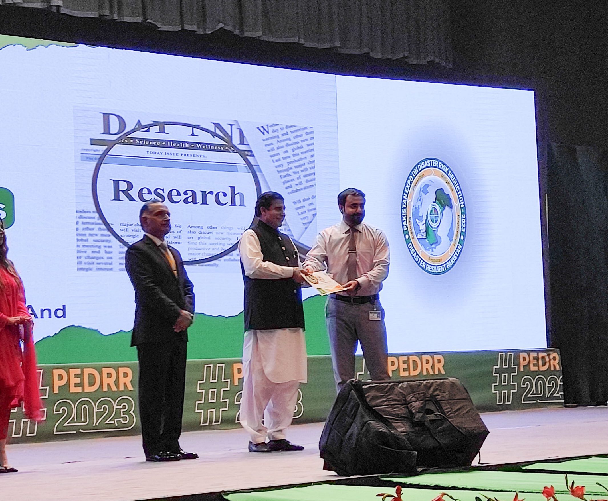

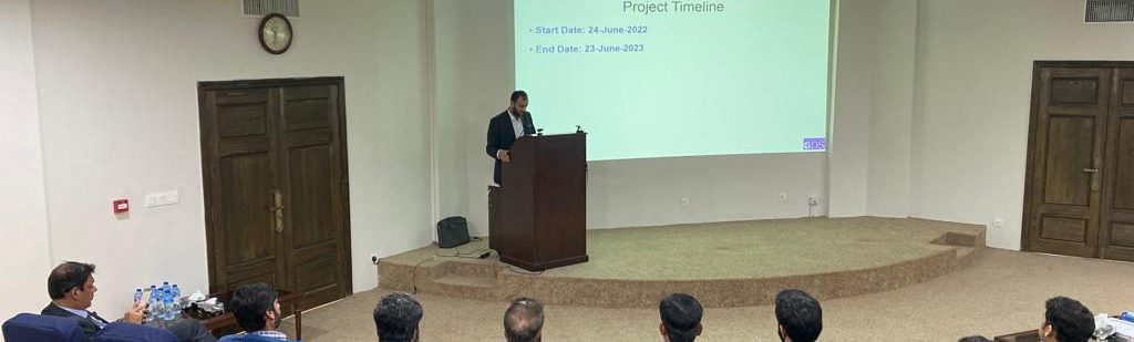
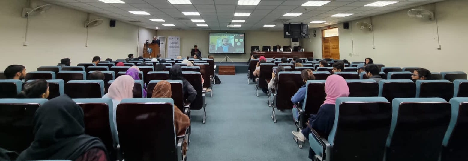
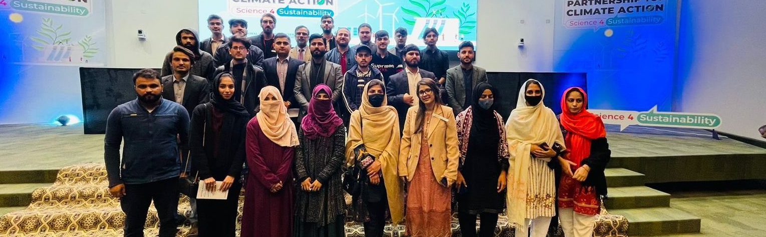

Seminars and events
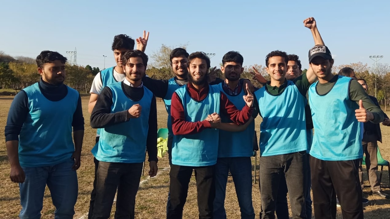
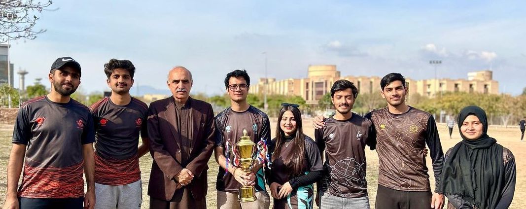
IGIS Sports Gala 2024
April 16,2024 - 19, 2024

NTAC e-Gaming event at the Olympiad
March 8,2024 - 9, 2024
Important Links

Downloads
Important DownloadsAlumni Portal
NUST ALUMNI Web PortalGIS DAY
IGIS GIS DAYNUST Scholarship
NUST Scholarships