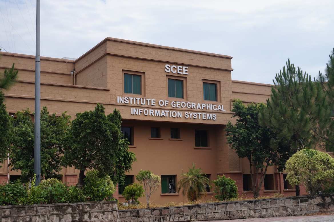
IGIS Academia Facts & Figures
WELCOME TO IGIS
The Institute of Geographical Information Systems (IGIS) is the first of its kind higher education learning institute in Pakistan where state of the art education in Spatial Sciences and Remote Sensing is delivered. IGIS has modern infrastructure including classrooms, state of art laboratories and digital library. The institute offers four years of Bachelors of Engineering (BE) in Geoinformatics, two years’ MS in Remote Sensing (RS) and Geographical Information Systems (GIS) and Ph.D in RS & GIS. Beside the degree programmes, IGIS also offers short courses in RS & GIS to private and public sector organisations across Pakistan on demand. The Institute has experienced faculty holding MS, PhD and Post-Doc degrees in various disciplines from reputed International and National Universities. In the years ahead, IGIS plans to pursue its vision of expanding not only its academic programmes but also the student intakes, without diluting its traditional standards of excellence. The goal of IGIS is to undertake basic and applied research to educate the next generation of students and prepare them for successful careers in relevant professions, keeping in view a very high demand of spatial scientists.
Professor Dr. Muhammad Irfan
PRINCIPAL'S MESSAGE
IGIS is one of the four institutes functioning under the umbrella of School of Civil and Environmental Engineering (SCEE). All resources of IGIS are augmented by SCEE i.e. faculty, laboratories, library and transport, thus making it a very potent institute. IGIS has distinction of offering for the first time in Pakistan, Master’s programme in the field of Remote Sensing (RS) & Geographical Information Systems (GIS). Keeping in line with its tradition, it has again been the first in the country to offer undergraduate degree programme in GIS and PhD in RS & GIS. The discipline is though new, but its importance has been recognized all over the world. As of today, many of the top universities of the world are offering degrees relating to spatial data. The importance of Geospatial data in virtually all fields of life has been realized in Pakistan. The avenues of employment are also increasing rapidly along with realization of the importance of spatial data. This will ensure optimal utilization of resources in minimum time.
In the Spotlight
IGIS Heads
- Email:[email protected]
- Specialisation:Energy Systems Engineering
- Email:[email protected]
- Specialisation:Geomatics Engineering
- Email:[email protected]
- Specialisation:Transportation Engineering
- Email:[email protected]
- Specialisation:Water Resources and Climate Change
Sports and general events
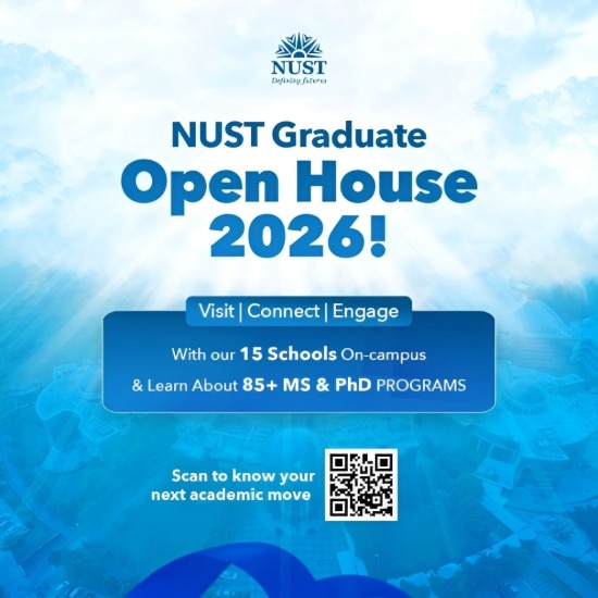
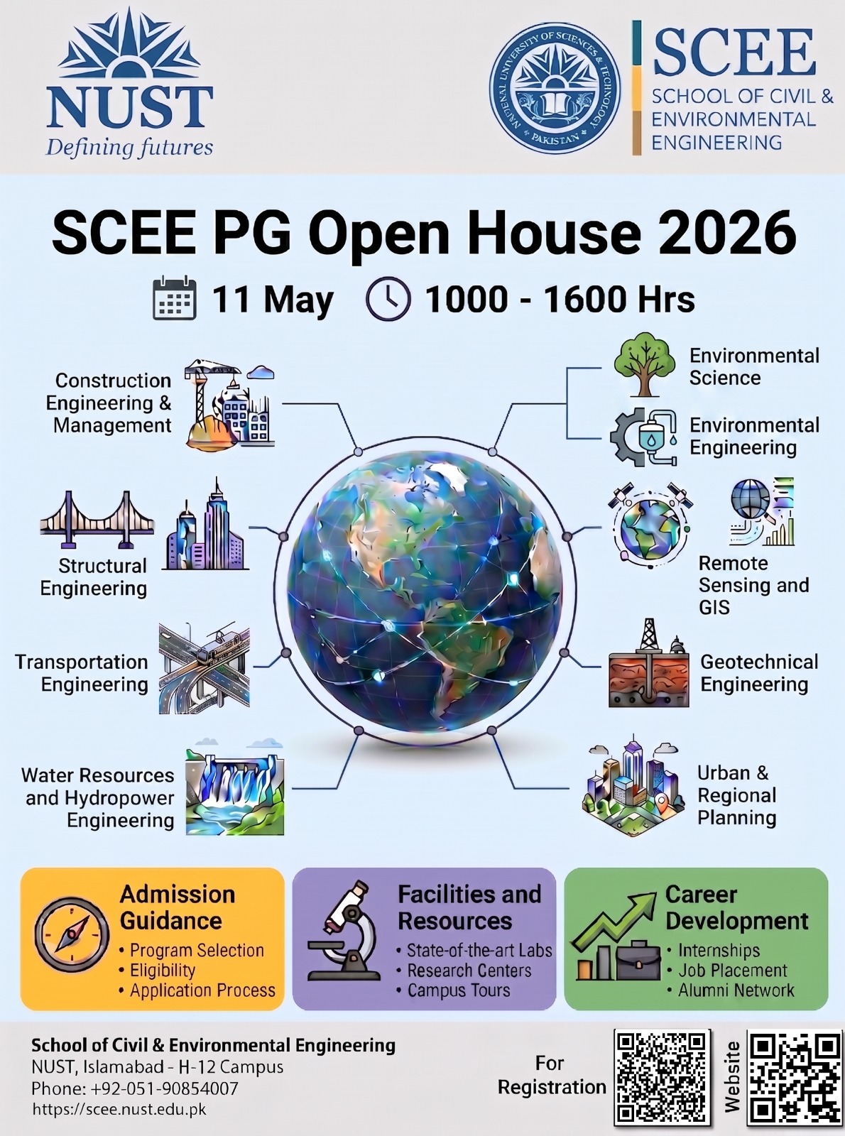
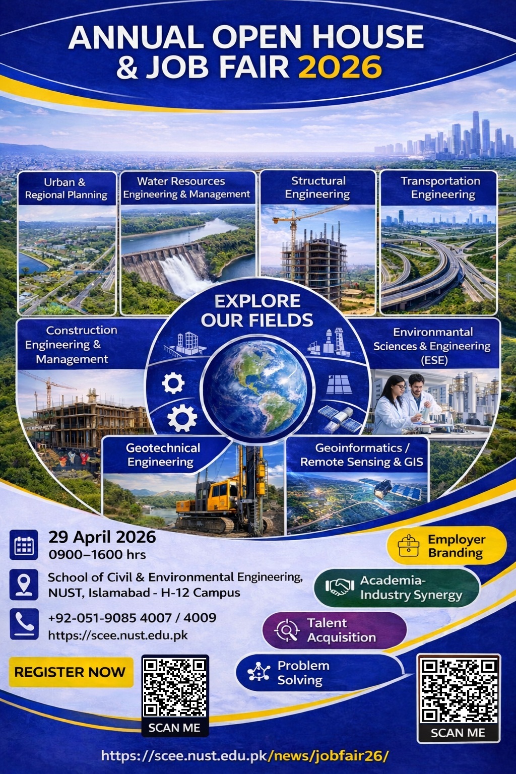
NUST Graduate Open House 2026
May 11,2026 - May 11, 2026
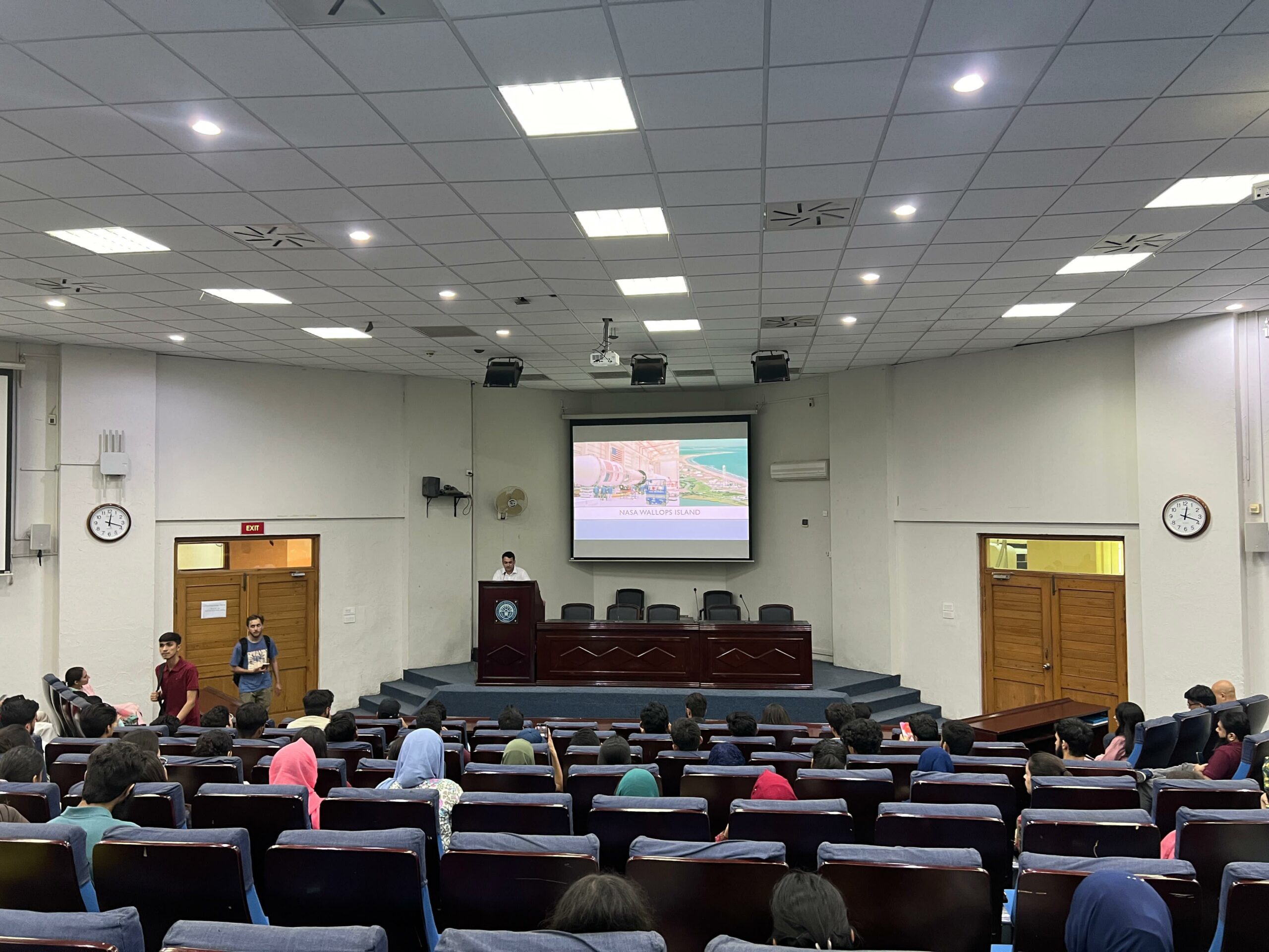
Seminars and events
IGIS students interacted with a team manager for the James Webb Telescope, Mr. Yasir Tufai…
September 9, 2024 -September 9, 2024View Details
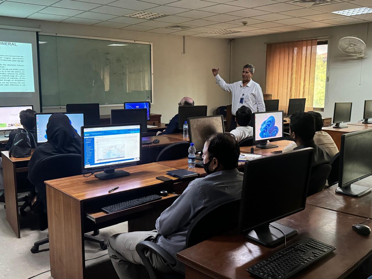
The Institute of Geographical Information Systems-SCEE organised a five-day short course on “Introduction to GIS…
June 10, 2024 -July 14, 2024View Details
Important Links
Downloads
Important Downloads
Alumni Portal
NUST ALUMNI Web Portal
GIS DAY
IGIS GIS DAY
NUST Scholarship
NUST Scholarships
Information Pool
SCEE INFO POOL
IGIS Library
IGIS Library Info
Main Library
NUST MAIN LIBRARY
E-Pool Seminars
E-Learning Resource


